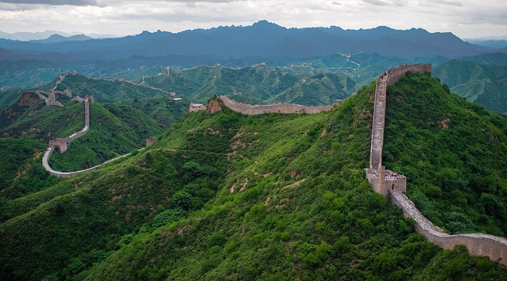
Researchers Reveal New Insights on the Northern Line of the Great Wall of China: Mapping Civilian Control, Not Military Defense
Tuesday, an Israeli archeology specialist said that the northern line of China’s Great Wall was not designed to stop invading armies but rather to track civilian movements.
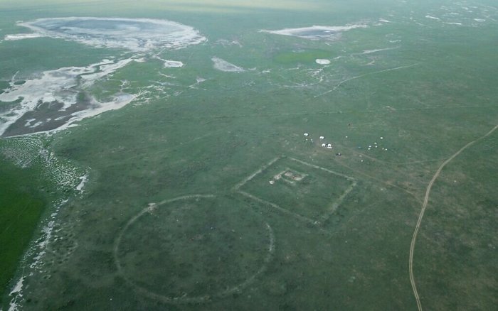
The observations of scientists who first traced the 740 kilometers (460-mile), Northern Line, for the first time, their findings challenged previous assumptions.
Gideon Shelach-Lavi, of Hebrew University, who oversaw the two-year report, said, “Before analysis, most people thought the wall was to stop Genghis Khan‘s army.
But the Northern Line, lying mostly in Mongolia, winds through valleys, is relatively low in height and close to paths, pointing to non-military functions.
“We conclude that it was more about monitoring or blocking the movement of people and livestock, maybe to tax them,” Shelach-Lavi said.
He suggested people may have sought warmer southern pastures during a medieval cold spell.
Construction of the Great Wall, which is split into sections that stretch for thousands of kilometers in total, began in the third century BC and continued for centuries.
The Northern Line, also known as “Genghis Khan’s Wall” about the legendary Mongolian conqueror, was built between the 11th and 13th centuries with pounded earth and dotted with 72 structures in small clusters.
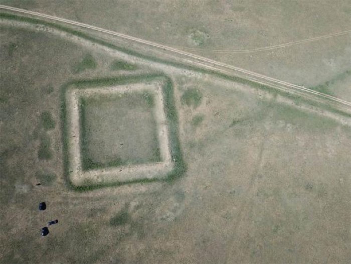
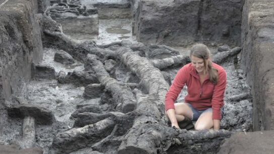
Shelach-Lavi and his team of Israeli, Mongolian and American researchers used drones, high-resolution satellite images and traditional archaeological tools to map out the wall and find artifacts that helped pin down dates.
According to Shelach-Lavi, whose findings from the ongoing study were published in the journal Antiquity, the Northern Line has been largely overlooked by contemporary scientists.